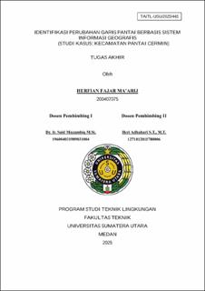
Identifikasi Perubahan Garis Pantai Berbasis Sistem Informasi Geografis (Studi Kasus : Kecamatan Pantai Cermin)
Identification of Shoreline Changes Based on Geographic Information System (Case Study : Pantai Cermin District)

Date
2025Author
Ma'arij, Herfian Fajar
Advisor(s)
Muzambiq, Said
Adhahari, Heri
Metadata
Show full item recordAbstract
The coastal area has a dynamic nature that causes shoreline changes both naturally and due to human activities. This study aims to identify shoreline changes in the Pantai Cermin Sub-district during the 2019–2023 period using Geographic Information System (GIS) technology. The primary data used include Sentinel-2A satellite imagery processed through Google Earth Engine (GEE) and analyzed using the Digital Shoreline Analysis System (DSAS) method. This method involves the calculation of Net Shoreline Movement (NSM) and End Point Rate (EPR) to determine the distance and rate of shoreline changes. The results of this study indicate that during the 2019–2023 period, shoreline changes occurred with a total abrasion length of 6.75 km and accretion length of 4.21 km. The highest abrasion rate during this period was recorded in Pantai Cermin Kanan Village with an EPR value of -3.11 m/year, while the highest accretion rate was recorded in Kuala Lama Village with an EPR value of 2.01 m/year.
Collections
- Undergraduate Theses [428]
